Hiking trail "Hill Pharos"
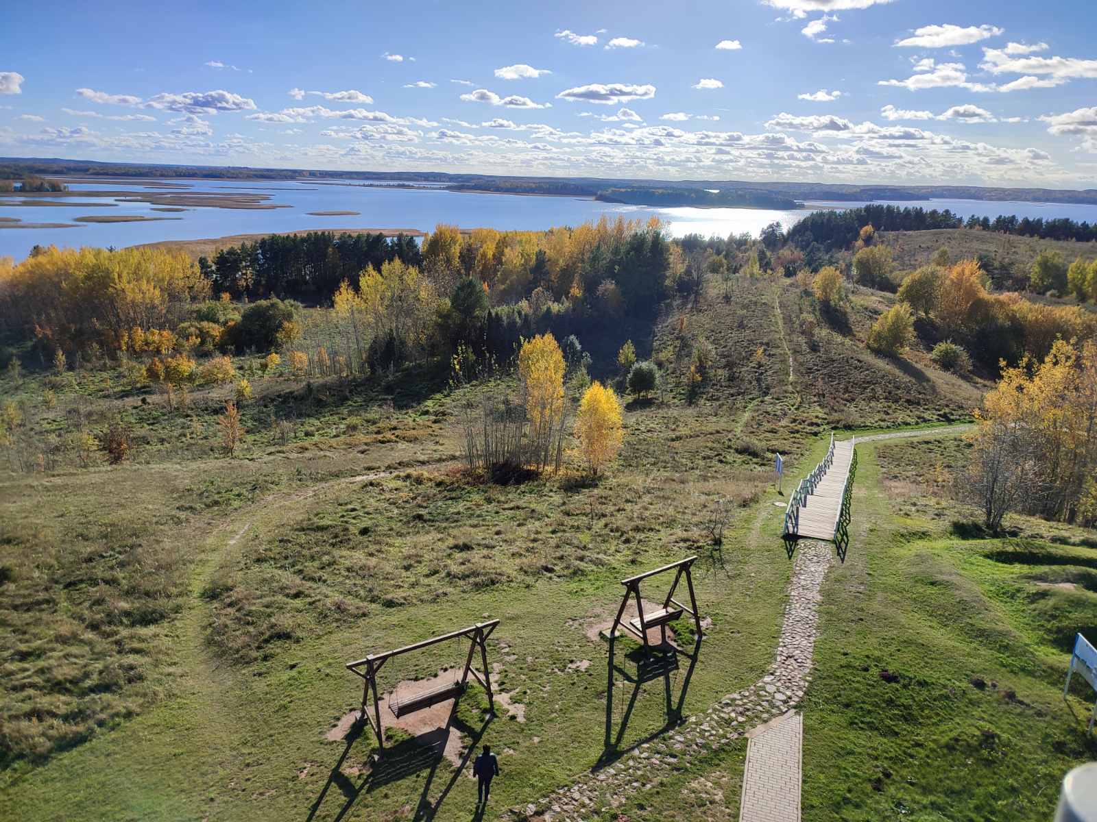
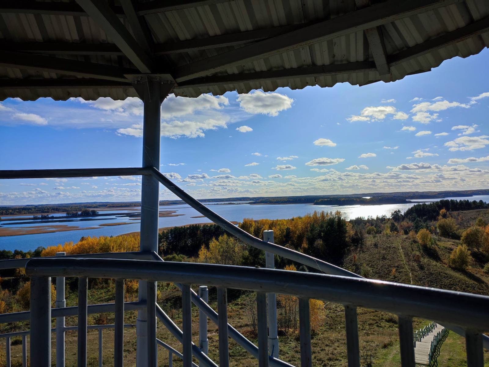
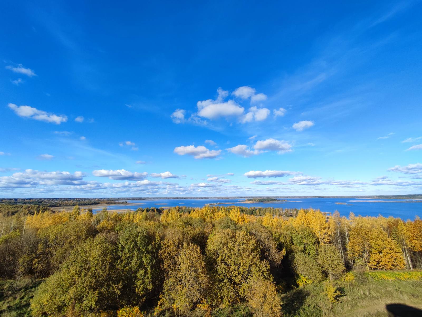
Hill Pharos – is the best observation point of the National park “Braslavskie ozera”, on which base the hiking trail “Hill Pharos” begins. It is a unique natural object, located between lakes Snudy and Strusto, from the top of which a picturesque and magnificent landscapes and water mirrors are seen, with the numerous islands and shallows.

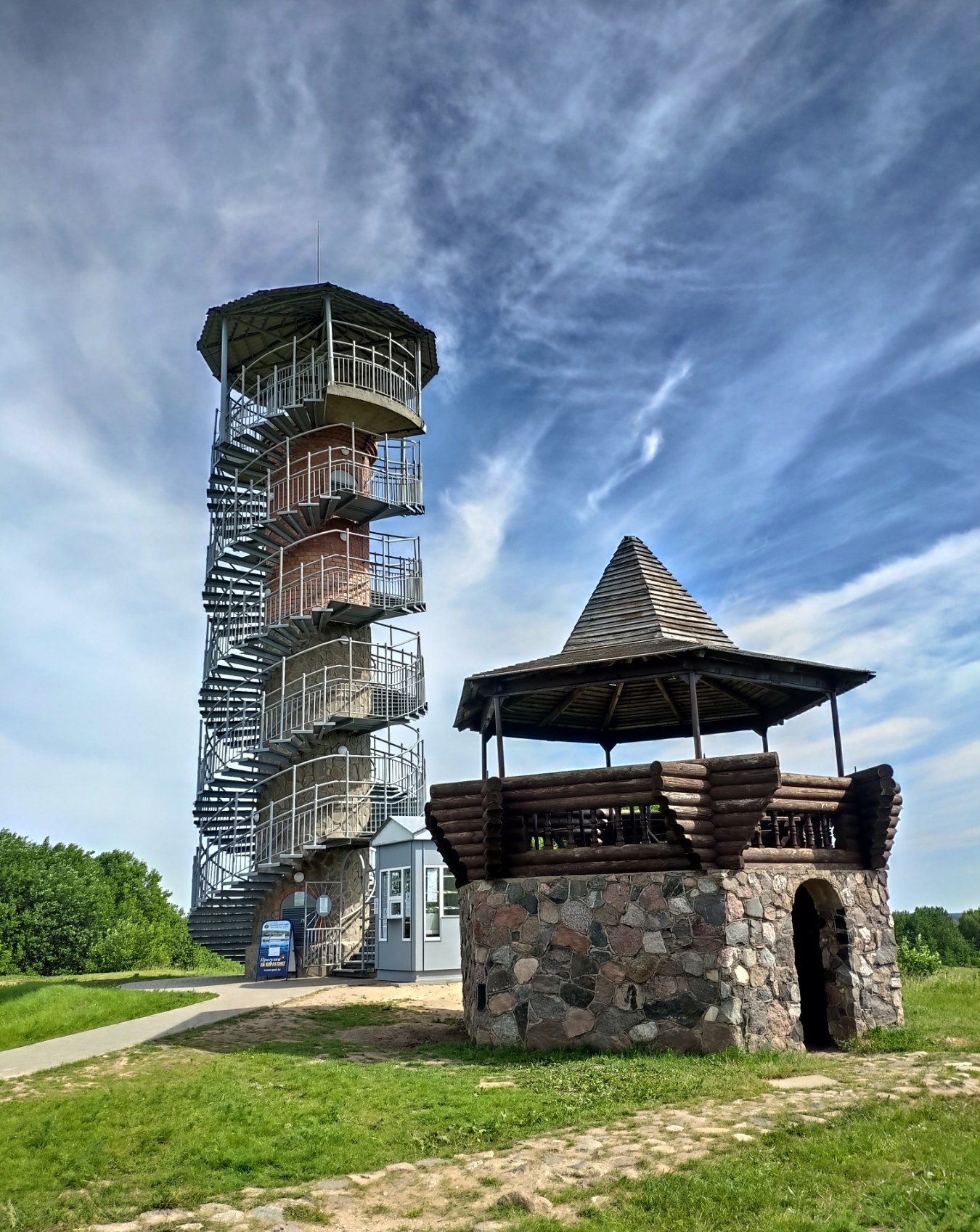
Hill Pharos represents a distinct glacier kame – dome-shaped precipitous round hill formed from sorted layered material. An absolute height of the mountain is 174 m. above sea level, relatively to the near lakes – Strusto and Snudy its height is 44,7 m. In the beginning of the XX century geodesists put a triangulation tower on its top which local population used to call a “Pharos”. Before that the hill was called a mountain “Bysnya”. Thus, on the territory of the central part of the national park are represented both positive and negative landforms. Such landscapes, being of a low-mountain type is a rare case for a flatland territory. An observation tower was built in 2020.


The height of the observation tower from ground level to the observation deck is 13.09 m.

The ecological trail has a length of 1.7 km and includes 9 stops equipped with information stands.
At stop number 2 you will get acquainted with the relief of the central part of the national park, formed by glacial activity. As a result of complex processes occurring during the melting of the glacier, positive and negative landforms were formed, among which one can single out the basins of lakes Strusto, Snudy and the kame complex headed by the “Mayak Mountain”.
At stop number 3, the hydrological characteristics of Lake Snudy are presented: its size, genetic type, oxygen regime, transparency and mineralization of waters.
At stop number 4, information is provided about the Perevoloka Peninsula, its vegetation, human development and the current state.
At stop number 5, information is provided on wild plants included in the Red Book of the Republic of Belarus and found here on the route.
At stop number 6 provides information about the species of fish living in lakes Strusto and Snudy.
At stop number 7 you can get acquainted with representatives of the wildlife of the national park.
At stop number 8, information about the avifauna of the national park ecosystems is provided.
At stop number 9, you can learn about boulders often found in the national park, their origin and appearance in the Braslav region.

It is FORBIDDEN to leave garbage on the ecological path!
